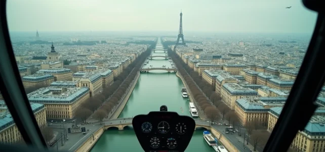
Flying over Paris from the air requires navigating one of the most regulated airspaces in Europe. Between the permanent restrictions above the capital and the necessary exemptions for any professional flight, the choice of aerial observation mode (helicopter, drone, or even driving to high viewpoints) is based on specific technical constraints. This article compares these options through their access conditions, regulatory framework, and what they actually allow you to see.
Aerial Regulation Above Paris: What the European Framework Requires
Flying over Paris with a private drone or helicopter is not unrestricted. The capital is covered by a permanent no-fly zone, and any professional aerial capture goes through a structured administrative process.
For drones, operations fall under the Specific Category of the European framework (STS-01 or STS-02). The exemption application must be submitted at least ten working days before the flight to the Police Prefecture, via the Démarches Simplifiées platform. In practice, adjustments requested by the administration often extend the timeline to fifteen or twenty-two days.
Since 2026, drone operators intended for video or photo capture must also have aircraft liability insurance compliant with Regulation EC 785/2004. For devices weighing less than 500 kg, the minimum legal coverage reaches 750,000 Special Drawing Rights, or about 900,000 euros. Insurers require proof of compliance with the European framework (CATS certificate, C5 or C6 class drone, up-to-date operating manual) before accepting coverage.
The restrictions do not stop there. NOTAMs and prefectural orders regularly create additional temporary restrictions, even for operators already holding exemptions. Checking these publications before each flight remains an obligation, including for equipped and certified professionals. Helicopter flights, on the other hand, use dedicated corridors and are operated by companies holding specific licenses, which simplifies the process for the passenger but does not reduce the actual constraints of flying over.
For those curious about exploring aerial discovery options in Paris by car or helicopter, the website parisvudavion.com details the packages offered based on the chosen mode of transport.
Helicopter Flight or Scenic Views by Car: A Comparative Access Table
The two main ways to contemplate Paris from above do not target the same audience and do not offer the same experience. The table below summarizes the operational differences.
| Criteria | Helicopter | Driving Route (High Viewpoints) |
|---|---|---|
| Viewing Altitude | Several hundred meters, direct flyover of monuments | Natural altitude (hills, viewpoints) or accessible terraces |
| Administrative Process for the Passenger | None (managed by the operator) | None |
| Typical Duration | Fifteen to thirty minutes of flight | Half-day to full day depending on the route |
| Weather Dependence | High (frequent cancellations due to wind or low ceiling) | Low (permanent accessibility) |
| Geographical Coverage | 360-degree panorama of the entire capital | Limited angles depending on the chosen viewpoint |
| Time Flexibility | Fixed slots, reservation required | Free, including sunrise and sunset |
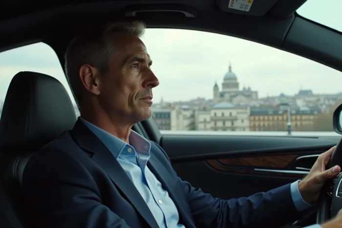
The helicopter offers a total immersion, with a viewpoint angle impossible to reproduce from the ground. However, the dependence on weather conditions and the rigidity of time slots limit spontaneity. Driving routes to the heights of Paris (Montmartre, Belleville, Saint-Cloud park, Meudon terrace) allow for multiple angles without time constraints.
Driving Route to Parisian Viewpoints: Alternatives to Classic Sites
Most recommendations focus on the Eiffel Tower, Montparnasse Tower, or the Arc de Triomphe. These sites offer remarkable panoramas but require a hike, a ticket, and often a wait in line.
A driving route aimed at aerial views of Paris benefits from incorporating less crowded points:
- The Meudon viewpoint, accessible by car, offers a clear view of western Paris with the Eiffel Tower in the background, without any ticket to purchase.
- The Saint-Cloud park, where the top of the estate provides a plunging perspective towards the Seine and the rooftops of Boulogne, accessible even in winter.
- The heights of Belleville (rue des Envierges), where parking remains possible early in the morning and the panorama covers the east of Paris up to La Défense.
- The Gravelle plateau, on the edge of the Vincennes woods, less known but with enough distance to embrace the southeast skyline of the capital.
These points share a common advantage: free access and the ability to photograph without regulatory restrictions, unlike drone captures which require the administrative process described above.
Drone, Helicopter, or Ground: Which Mode for Which Image of Paris
The choice of capture mode depends on the final use. An individual who simply wants to admire the capital does not have the same needs as a professional image maker.
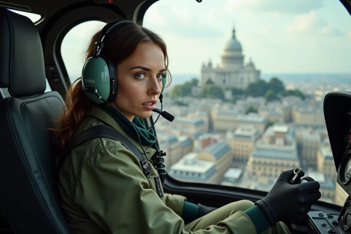
For personal use (souvenir, amateur photography), the viewpoints accessible by car remain the most realistic choice. The helicopter offers an exceptional moment but for a very short time. The drone, on the other hand, is nearly inaccessible to individuals over Paris due to the regulatory framework.
For professional use (filming, inspection, real estate photography), the drone remains the only tool capable of providing precise angles at low altitude. The exemption procedure, the cost of insurance, and the administrative delays make it a heavy investment. The professional helicopter, with an onboard photographer, covers more ground in a single outing but without the precision of a stabilized drone.
The ECPAD has digitized and published on its ImagesDéfense site a collection of aerial photographs of Paris from La Documentation française, covering the period from 1969 to 2001. These shots, taken at an oblique angle, show the relief of buildings and the evolution of the urban landscape over three decades. This collection constitutes a free resource for anyone seeking historical aerial views without organizing a flight.
Flying over Paris, whether by helicopter or by driving to the heights, always faces the same parameters: the weather, regulation, and budget. The ECPAD archives remind us that a good aerial view of the capital can also be found in a digitized collection, without taking off.